A Q&A with Oisín Plumb
Tell us a bit about your article
My article looks at the way that writers and cartographers from Britain and Ireland from the seventh to the eleventh centuries used the term Orcades. While this term has usually been translated as ‘Orkney’, the paper asks if, on some occasions, the term might be used to indicate a wider range of the islands; potentially at times also encompassing Shetland and the Western Isles.
What inspired you to research this area?
I was struck by the way that terms for territories change over time. No one would ever assume that an early medieval reference to an event in the kingdom of Northumbria necessarily took place in the modern county of Northumberland. However, any time the term Orcades is mentioned in an early medieval source, it is almost always translated as ‘Orkney’. At the same time, the apparent lack of early medieval references to Shetland and the Western Isles seemed to be at odds with the potentially huge cosmological significance of these places. This was a culture which viewed ministering to the edge of the inhabited world as a crucial mission set by Jesus himself. I wanted to investigate if there were any grounds for, at the very least, pausing before necessarily assuming that references to the Orcades always refer to Orkney alone.
What was the most exciting thing about this project for you?
It was fascinating to get a glimpse of the early medieval view of the world and how the people of Britain and Ireland saw their place within it. It was also exciting to potentially ‘find’ places which seemed to be missing from the sources. This might create the opportunity for new interpretations of some of our earliest sources on the islands to the north of Scotland.
Did you get exclusive access to any new or hard-to-find sources?
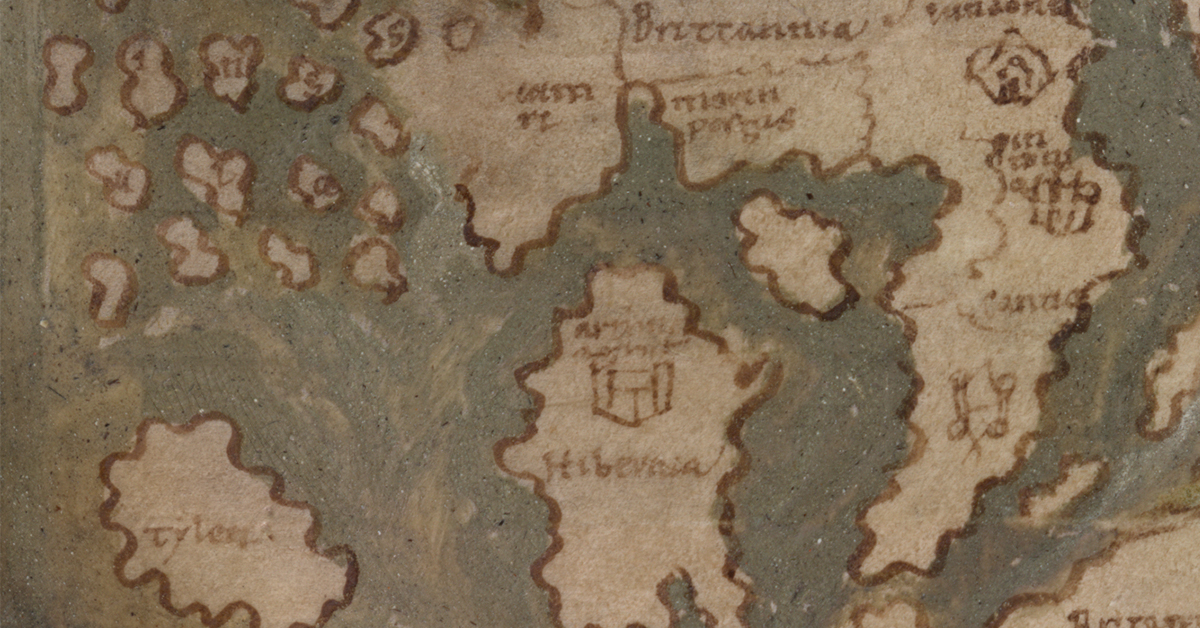
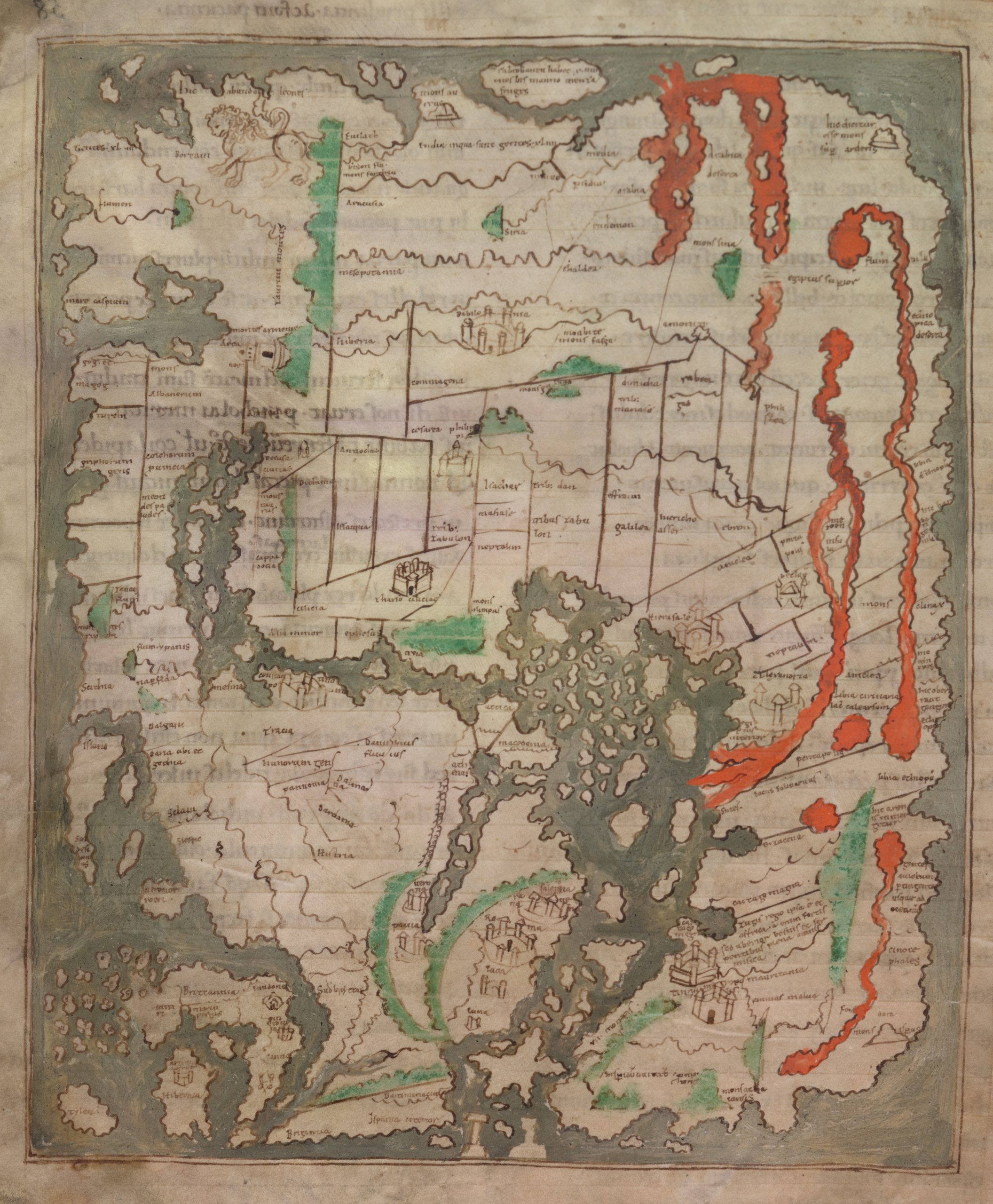
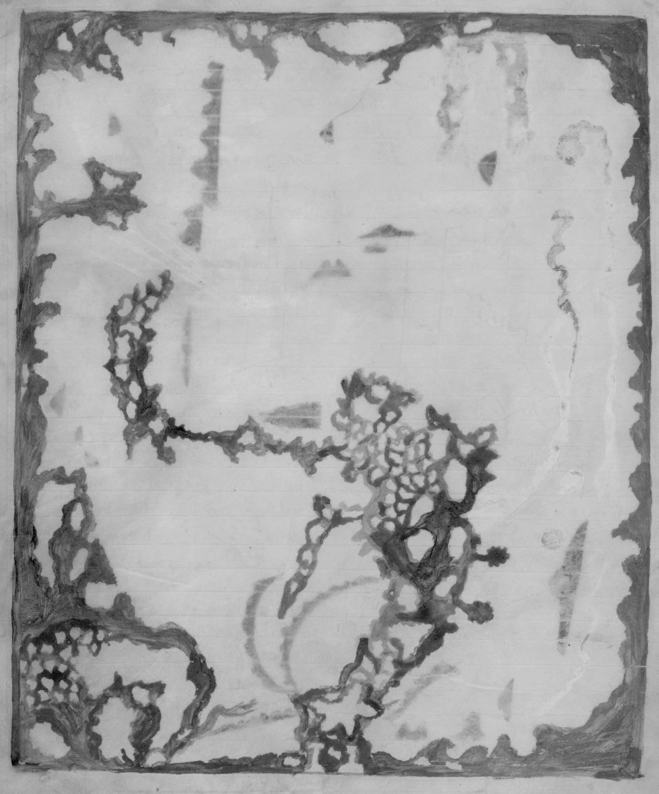
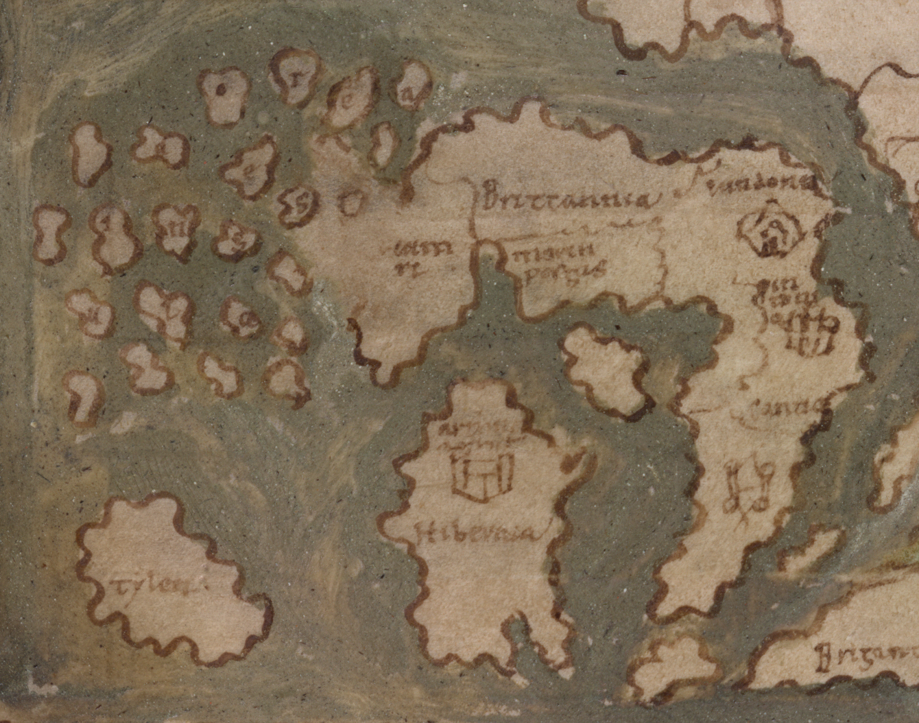
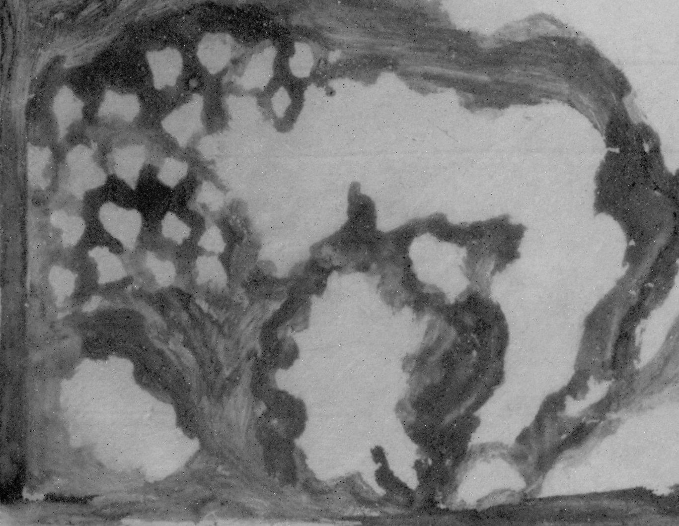
Yes! A grant from the Scottish Catholic Historical Association Early Career and Independent Researcher Fund allowed me to travel to the British Library to examine the eleventh century Anglo-Saxon mappa mundi (world map). This was likely to have been produced in the south of England and is particularly notable for the detail given to Britain and Ireland, which is unique for a medieval map. The map depicts a very large archipelago labelled ocades insula which not only encompasses a large expanse of ocean to the north of Scotland but includes islands which sit on top of the Scottish mainland. Multi-spectral images kindly produced for me by the British Library let us see what was likely to have been the original layout of the map, before the addition of iron gall ink led to the adjustment of the coastlines of Scotland and the Orcades. This is the first time this view of the map has been seen for over 900 years!
What’s next for you?
My work with maps and how they engage with local and national identities in Scotland is set to continue. My colleague Andrew Lind and I have recently been awarded a Royal Society of Edinburgh Research Collaboration Grant for a project entitled Mapping identities: Visual depictions of Scotland. This project, which will begin early next year, will bring together a wide range of scholars from across the UK in a series of workshops and a conference. It will investigate how maps have helped to shape, and have been shaped by, local and national identities in Scotland from ancient times to the present day. Following the project, we’ll showcase the findings at venues throughout Scotland with a series of talks and a banner exhibition.
Images reproduced by permission of the British Library.
Read the full article in The Innes Review
About the Journal
The Innes Review is the journal of the Scottish Catholic Historical Association. It promotes the study of the history of Catholic Scotland, covering all aspects and topics related to Scottish history and culture. This includes ecclesiastical, cultural, liturgical, architectural, literary and political history from earliest times to the present day.
Sign up for TOC alerts, subscribe to The Innes Review, recommend to your library, and learn how to submit an article.
About the Author
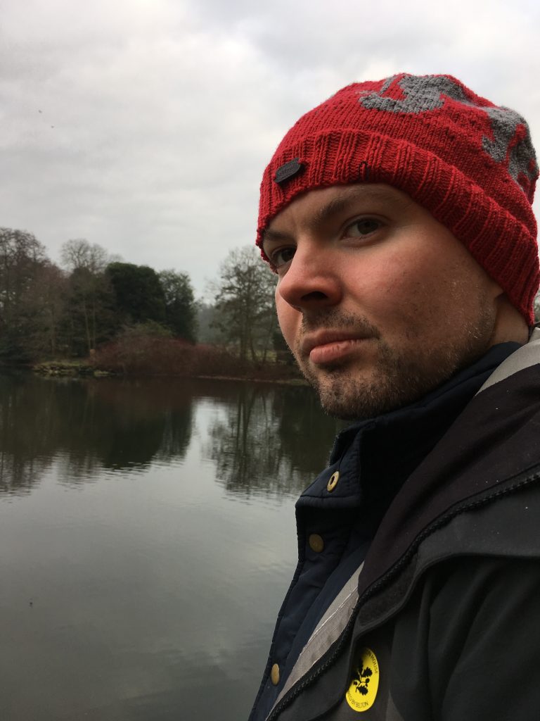
Oisín Plumb is a lecturer at the Institute for Northern Studies UHI, based at UHI Perth. His research focuses on Early medieval Northern Britain and Ireland. Particular interests include the early Church, the formation of local and national identities in the early medieval period, and maps and the understanding of the earth’s lands and its place in the cosmos in the early Middle Ages.
Explore related articles on the EUP Blog
The role of heritage in community development of the Highlands and Islands
Scottish Diaspora Virtual Issue
Remembering the history of Scottish land reform


